Batten down Santa, the reindeer and other outdoor Christmas decor.
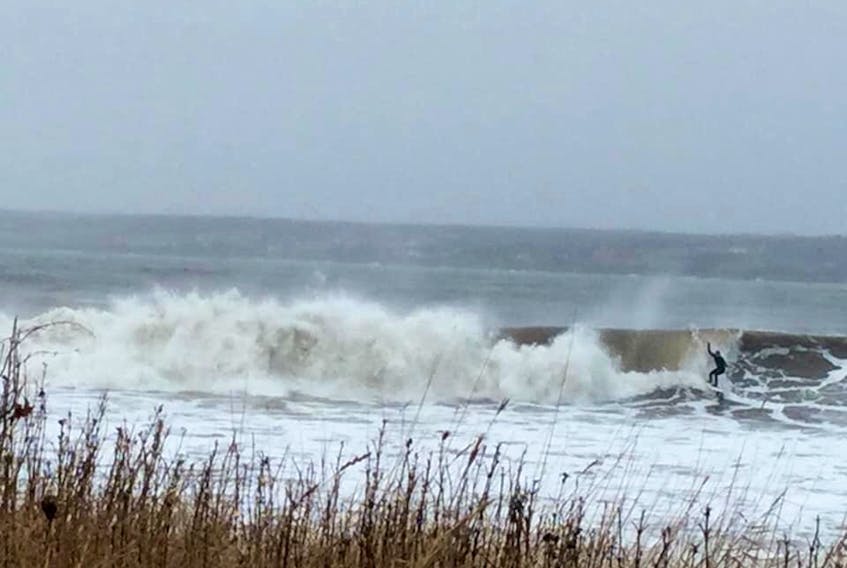
High winds and heavy rain are forecast to rip through the province Monday evening and continue until Tuesday afternoon.
“It’s a spring-like storm that’s going to bring us very mild conditions, record-setting perhaps, and strong, damaging winds.” said Cindy Day, chief meteorologist with the Saltwire Network.
“Trees don’t usually fall but the wind is coming with such a soaking that it could loosen soil and some of the shallow-root trees could tumble over with winds that strong.
“It’s Christmas decorations, maybe some roof shingles. It is sustained.”
The rain will begin about suppertime on Monday, dumping up to 50 to 75 millimetres on most parts of the province by Tuesday morning, Day said. The wind will start to build by 8 p.m., Monday and intensity to its strongest, 100-kilometre-per-hour gusts, by sunrise Tuesday.
“Where the rain is falling on frozen ground, there is going to be an issue with localized flooding,” said Day, pointing to Cumberland and Colchester counties in particular.
Temperatures will then cool off gradually Tuesday night into Wednesday.
“There is a band of snow coming in behind this system, five to 10 centimetres for Wednesday morning and through the day.”
Day said the unusual part of the storm will be the duration of the strong winds.
“The system is moving into a stalled high so the pressure gradient tightens,” Day said. “It’s not just, oh, we’ve got a couple of high gusts and then it diminishes. It will be sustained at 80 kilometres with some gusts to 100. The wind component of this is going to be a big factor.”
The rain will wash away a lot of the snow and ice that remains on the ground from a winter blast 10 days ago. And the rain event won’t require shovelling.
“That’s one way of looking at it, unless you are a ski hill operator or you make money plowing driveways,” Day said. “It will wash away what snow there is. It will be mild for everyone, there are no exceptions, even up through northern Newfoundland.”


