I was at the grocery store after work on Tuesday when I overheard two men talking about… the weather. Imagine that.
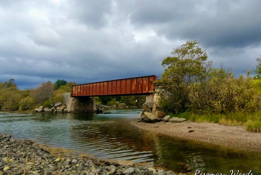
They were, of course, bemoaning the fact that summer was winding down. One said to the other, “You don't need a weatherman to tell you it’s fall, just look at the clouds.”
Well, I could go on about what is wrong with that statement. Instead, I’ll point out what is true – the part about the clouds.
I’m sure you’ve noticed it, too; the clouds look different in the fall. There is a very good reason for that. It has everything to do with the temperature, both of the air above and the ground and water below.
The building blocks of clouds are water and particles – of dust, dirt, or sea salt – known as cloud condensation nuclei. These nuclei attract water vapour and as they rise, the vapour condenses to form water or ice, which results in the formation of tiny cloud droplets. Much smaller than raindrops, cloud droplets are extremely light and gather while they float, mixing with air to form the fluffy formations we see suspended in the sky.
Getting back to the temperature of the air for a moment, it dictates where the vapour condenses. That’s known as the condensation level and it dictates the height of the base of the cloud.
Stay with me, we’re almost there…
In September, when a north wind introduces a cool air mass, it does so over land and water that is relatively warm. The heat released from the water and land comes into contact with the bottom of the cool air mass. Warm air rises through it and is cooled by the surrounding air. Cool air can’t hold as much moisture as warm air and condenses fairly quickly; the sooner condensation occurs, the lower the clouds.
These clouds are most often stratocumulus clouds. If you took an imaginary knife and spread cumulus clouds together across the sky but not into a smooth layer, you’d get stratocumulus. They are low, puffy, greyish clouds that occur in patches with blue sky visible in between.
So, aside from the fall colours and people’s wardrobe choices, the upcoming season has a look…
- Want more weather information? Visit your weather page.
- Have a weather question, photo or drawing to share with Cindy Day? Email [email protected]
Cindy Day is the chief meteorologist for SaltWire Network.

