It’s been a busy week in the weather centre. I started my condensed work week at Ecole Chebucto Heights School in Halifax.
There, I had the pleasure of speaking with grade 5 students who are busy studying the weather unit. We were talking about storms and I was explaining how every storm has a warm side and a cold side, especially in the fall. We experienced that first hand over the last few days going from record high temperatures to bitter wind chill in a matter of hours.
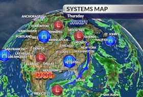
Did you know it was 16 degrees Celsius in St. John’s, N.L., Wednesday afternoon? That made it the warmest Nov. 13 on record (since 1874) and warmer than San Francisco that day. Thursday’s cold front changed that pretty quickly.

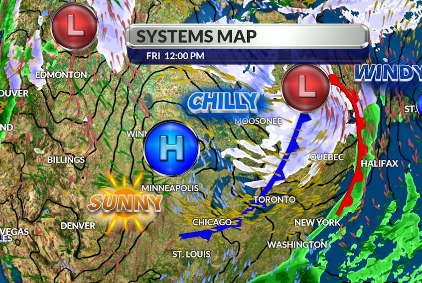
Well, we’re in for another wild temperature swing as we head into the weekend. The wedge of warmer air that has moved into our region is not going to linger. Another cold front will sweep through tonight and tomorrow and, once again, the arctic pipe-line will open up.
The cold snap will be short-lived; we’ll be between systems on Sunday with less wind and slightly milder temperatures. An approaching rain system will bring clouds, showers and seasonal temperatures for the first part of the new week.

- Want more weather information? Visit your weather page.
- Have a weather question, photo or drawing to share with Cindy Day? Email [email protected]
Cindy Day is the chief meteorologist for SaltWire Network.