Very soon, wind and rain warnings will be issued across the region. We won’t be surprised by them, but I hope we all heed the warnings.
Another set of warnings is sure to pop up: storm surge warnings. Many of us hear the term storm surge but how many really know what it is. Storm surge is not the same as high tide of even wave height.
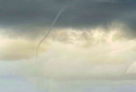
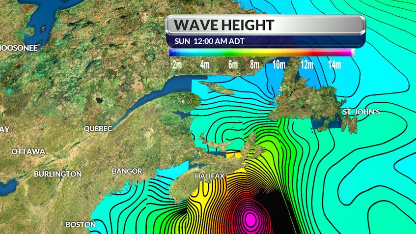
The next few days will bring particularly high tides along the coast of Nova Scotia. A trough of low pressure will pass over the province this afternoon giving strong southwesterly winds later tonight and Thursday. These strong south-westerlies combined with the higher than normal tides will result in higher than normal water levels and some rough and pounding surf along parts of the Fundy and Atlantic coastlines.A storm surge is a coastal flood of rising water commonly associated with an area of low pressure: the lower the pressure, the greater the surge or upwelling of water under the storm. Then, the wind, moving cyclonically or in a counter-clockwise rotation around the storm takes the rise of water and drives it up against the coast. This wind-driven water has tremendous power. One cubic metre of seawater weighs almost one ton!
Pressure and wind are not the only considerations when issuing a storm surge warning; the phase of the moon is also taken into consideration.
When the moon is full or new, the gravitational pull of the moon and sun are combined. At these times, the high tides are very high and the low tides are very low. Fortunately, Dorian will race across Atlantic Canada just after the first quarter moon. The full moon is a full week away. Water levels could have been much higher!
In real estate, it’s about location but when it comes to the weather it’s often about timing.
RELATED:
- Visit your weather site.
- Have a weather question, photo or drawing to share with Cindy Day? Email [email protected]
Cindy Day is the chief meteorologist for SaltWire Network.