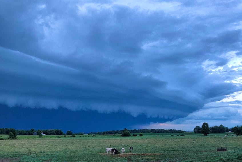
Yesterday’s cold front came through with some pretty intense thunderstorms. The frontal boundary was very slow moving; in fact, that same cold front pushed across the family farm in Bainsville, Ont., last Friday evening!
I had just landed in Halifax following my lovely road trip to Newfoundland when my brother texted the photo. Wow! Nice to know he still turns to his big sister for some things… but I digress.
The photo was quite ominous. While the cows at the feeder didn’t seem too concerned, my brother was, and rightfully so. There was a storm coming.
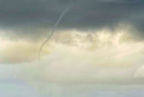
Cumulonimbus clouds are where thunderstorms are born, but they are often embedded, and we don’t always see them. At the base of this approaching storm cloud was a less common cloud – a shelf cloud!
A shelf cloud is a low, horizontal wedge-shaped cloud attached to the base of the parent cloud or cumulonimbus.
Here’s how it forms:
Cool, sinking air from a storm cloud’s downdraft spreads out ahead of the cold front. As the cool air lifts the warm moist air, water condenses creating a cloud which often rolls with the different winds above and below. The leading edge is called a gust front and the shelf cloud forms in this gust front.
A sharp, strong gust front will cause the lowest part of the leading edge of a shelf cloud to be ragged. The line of wispy, torn cloud is called scud. In extreme cases, there will be funnels along the edge of twisting masses of scud.
Ronnie said that soon after he took the picture, the wind came up and the rain gushed from the base of the cloud. There were no reports of damage and as far as we know, no one was seriously injured.
It’s one thing to admire the power of Mother Nature, but remember to always do so safely!
- Visit your weather site.
- Have a weather question, photo or drawing to share with Cindy Day? Email [email protected]
Cindy Day is the chief meteorologist for SaltWire Network.