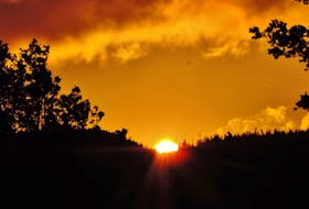
Yesterday I wrote about the link between our changing weather and the alarming increase in the number of forest fires. It’s heart-wrenching to watch those wildfires burn.
Did you know that depending on the materials being burned and the atmospheric conditions, forest fires can reach up to 800 C?
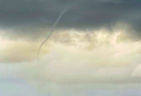
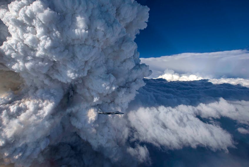
Water vapour released by the extreme heat of a fire is sometimes lifted high enough to form pyrocumulus clouds. Pyro is Latin for “fire” and cumulus means “pile up.” A pyrocumulus cloud is also called a fire cloud.
The unique cloud starts as a common cumulus cloud and develops as very warm, rising air encounters cooler air above. When conditions are right, pyrocumulus cloud tops can reach as high as 10 km.
The cloud can produce dry lightning – lightning without rain – the worst possible scenario in a forest fire situation. If there is a lot of water vapour available, the pyrocumulus can develop into a cumulonimbus, or thunderstorm cloud. If that becomes the case, it is called pyrocumulonimbus.
Where there’s smoke, there’s fire and maybe even a pyrocumulus or two.
- Want more weather information? Your weather page.
- Have a weather question, photo or drawing to share with Cindy Day? Email [email protected]
Cindy Day is the chief meteorologist for SaltWire Network.